About our Map
Leave a Comment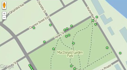
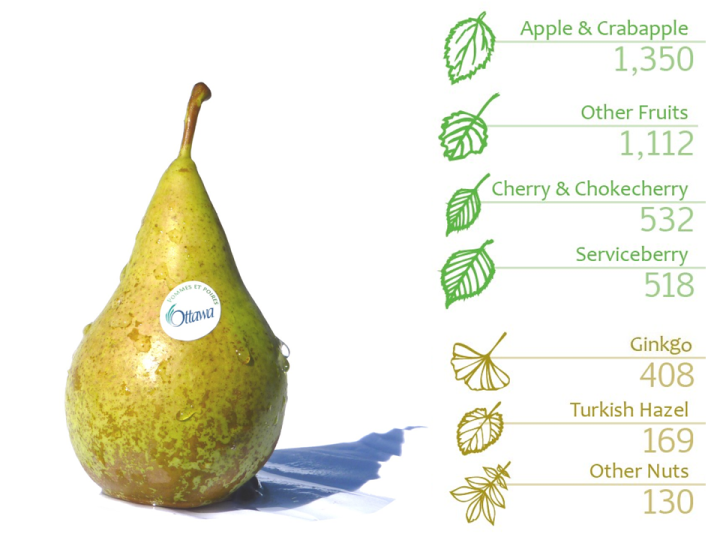
The green dots (![]() ) on our map show the City-owned trees which may produce
edible fruits or nuts.
) on our map show the City-owned trees which may produce
edible fruits or nuts.
We say “may produce” since some trees are too young (eg. a Turkish Hazel may not produce a yield until its 4th or 5th year) and other trees may not yield fruits or nuts at all (eg. all ginkgo trees are listed on the map, but only the females produce nuts).
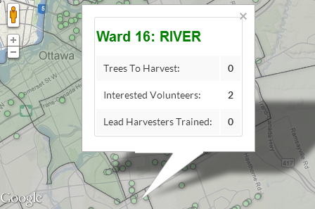
UPDATE 2015: Since google updated their most recent mapping software, our ![]() layer
is no longer displaying on our map, however, an example of what it looked like is below:
layer
is no longer displaying on our map, however, an example of what it looked like is below:
Trees on private property will not be displayed on our map. However, we have created a
layer to share statistics such as how many privately-owned trees have been registered for any given ward and how many volunteers have expressed interest in harvesting in each ward.
Here is an example of the Summary by Ward layer:
If you are interested in our map, you may also be interested in the following post — an interactive chart summarizing the City-owned, food-bearing trees in each ward.

![crediblecanning-20[1]](/wp-content/uploads/2012/10/crediblecanning-201-300x200.jpg)
