Since starting the planning for Hidden Harvest Ottawa back in 2011 it is incredible to see how much technology has changed.
When we started there was practically nothing. It was a matter of asking neighbours and putting up our “trees wanted” posters. In 2012 Open Data initiatives were becoming a big deal and the City of Ottawa released their first tree data publicly through Open Data Ottawa.
UPDATE: We are now finding out that groups have successfully used lasers and one plane to identify every fruit & nut tree across half of an ENTIRE COUNTRY! The area of Peru they surveyed is about 600,000 square kilometers… about half the size of Ontario.
From the article “…new maps reveal the hidden diversity of life in Peru’s Andean and Amazonian forests“:
Asner and his flying lab have mapped forests in California, Hawaii, Borneo and Ecuador. He admits he can’t cover the whole world by plane — but he can with a satellite.
If he can put his imaging technique into orbit, Asner said, he can make a fresh map of biodiversity on Earth every month. …The satellite could be ready in two to three years.

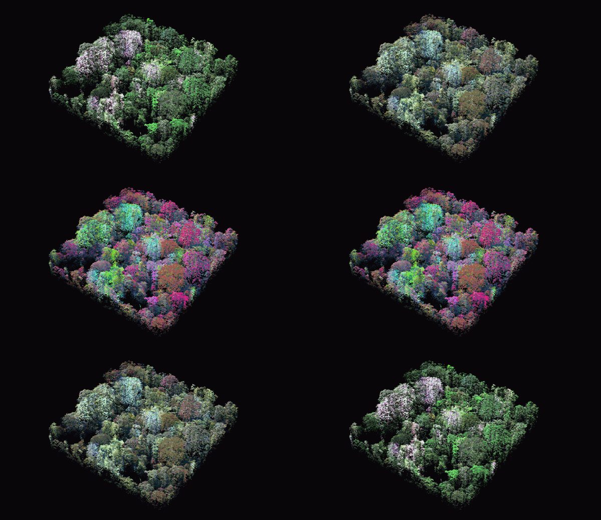
Two views of a single hectare of forest. The green photograph is the forest image rendered in
natural colour. The more colourful image are the trees are rendered in the spectral colors of
the forest, revealing the species diversity in one area of the forest.
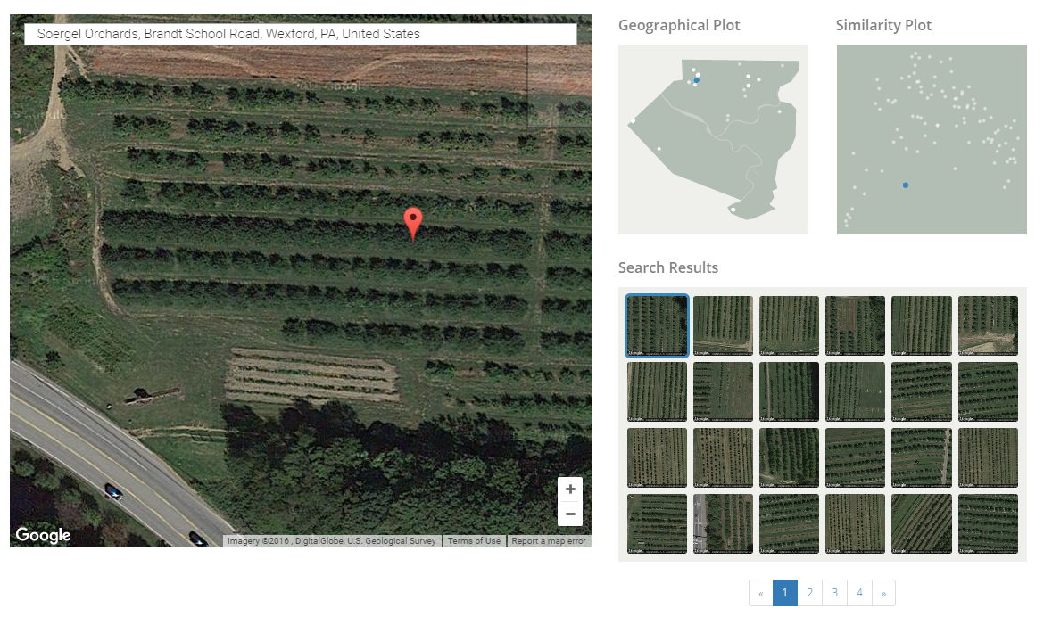
Find old orchards in your area: Today, technologies like Terrapattern.com allow you to click on a fruit orchard and it immediately shows you similar fruit orchards across an entire region. It certainly is not perfect but it definitely is incredible that, with an internet browser and no knowledge of programming, you can simply click on a map and immediately see similar patterns of treees or shrubs.


